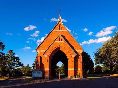
Digitising burial plots at Carr Villa Memorial Park
Published on 08 November 2017
The City of Launceston has started surveying more than 27,000 graves at the Carr Villa Memorial Park in an effort to digitise its records for future generations.
The Council's Spatial and Investigations Department has been working on the project since September, collecting thousands of geospatial data points which and using photogrammetry techniques which —when pieced together — create accurate digital maps of burial plots throughout the memorial park.
Many of the graves mapped date back to the Carr Villa Memorial Park's first years of operation at the turn of the 20th century. The first internment at the Carr Villa Memorial Park took place in August, 1905.
Launceston Mayor Albert van Zetten said the Carr Villa Memorial Park's existing online search functions were some of the most highly utilised online services the Council provided, generating thousands of hits each day from users across the globe.
"At the moment, the online records allow people to search for names, and the approximate location of the grave within the Carr Villa Memorial Park will be returned in the results," Mayor van Zetten said.
"Typically, how this has worked in the past is that someone will search a name, find the approximate location, and then talk to our staff who will examine the records, some of which are still paper-based, to establish the exact location of the grave.
"The work we are doing now, while in its early stages, could ultimately allow us to present a digital map when people search a name online. So they could see the exact location of the gravesite, rather than relying on a text description."
City of Launceston Spatial and Investigations Manager Cory Robson said the work had been a unique project for his team.
"Usually we are surveying and collecting data points for major construction projects, or to assist other departments within the Council with geospatial information, so digitally mapping nearly 30,000 graves has been different and a bit unusual," Mr Robson said.
"In the main we have used photogrammetry techniques to map the graves, using satellite and drone imagery as a starting point. But we have used very precise Geographic Positioning Systems on site which have allowed us to ensure an extremely high level of accuracy with the digital maps we are producing."
City of Launceston Director of Facilities Management Bruce MacIsaac said the work would reduce reliance on old, paper records.
"While our records have largely been digitised already, this project really takes things to another level," Mr MacIsaac said.
"To be able to accurately map graves digitally opens up a world of possibilities, and we're hopeful that in the future we will be able to make this information publicly available in some form, whether that's through improving the existing online search functionality we already have, or through some other digital means."