Launceston replicated in Minecraft map
Published on 17 February 2021
Launceston landmarks like Kings Bridge, UTAS Stadium and the Town Clock have been recreated in popular video game Minecraft using 3D LiDAR scans from the City of Launceston's digital data assets.
The Council has used LiDAR — which stands for Light Detection and Ranging — to undertake scans of the city for several years. The scans are used by the Council to create 3D computer models of city projects and new development proposals.
Thanks to technology advancements, it's become a simple process to convert these LiDAR scans into a basic Minecraft map that can be uploaded to the 'Minecraft: Java Edition' and 'Minecraft: Education Edition' versions of the game.
Originally created as a data visualisation demonstration tool for students, the Council has now made the Minecraft map of Launceston available for download on its website.
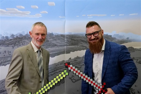
Launceston Mayor Albert van Zetten said that while he did not regard himself as a gamer, he understood the importance of using different tools to reach different audiences.
"Arguably there can be no better tool to demonstrate the power and flexibility of data visualisation — and the value of open data — to a student audience than through a video game," Mayor van Zetten said.
"It's interesting to see how the LiDAR data is interpreted in the Minecraft map, and how data we use for serious purposes can also be used for fun."
City of Launceston Analytics Team Leader Jarred Ranson said he hoped Minecraft enthusiasts would download the map and improve it.
"What we have is a scale accurate Minecraft map of central Launceston which we hope gamers experiment with," Mr Ranson said.
"The way Launceston is replicated within the game world is interesting, because we're bringing two imperfect visualisation techniques together.
"For example, LiDAR is very good for the purposes we use it for within Council, but it isn't perfect.
"And people familiar with Minecraft will also know a Minecraft map consists entirely of uniformly sized 'blocks'. So there are some quite interesting replications of small objects like street signs, rubbish bins and traffic lights, as well as larger objects like trees or vehicles.
"When we bring the LiDAR scan into Minecraft, any point on the scan which is detected as a physical object is represented by a block or series of blocks in the game.
"This means a shrub, a rubbish bin or lamp post can result in some odd patterns of blocks on the map.
"So there's a lot of scope for improvement of the map if someone is interested in taking it on and developing it further, but the basics are all there and most of Launceston's landmarks are easily recognisable.
"If someone eventually does develop the map further, we'd love to see the end results.
"As it stands, the Minecraft map of Launceston allows gamers to visit some of the city's landmark buildings like UTAS Stadium, the QVMAG, the Town Clock, and the Silos Hotel, and to transform them within the game.
"It's a bit of a different way for people to interact with the open source data the Council makes available."
The Council's open source data includes contour, utility, planning, waste and transportation maps, along with data on building footprints, recreational trails, road load limits, and more.